
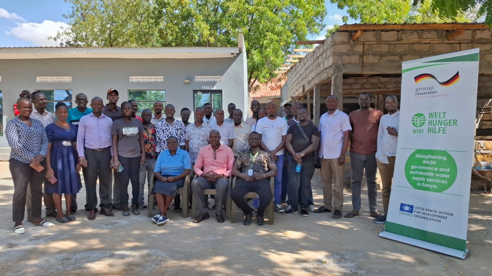
Turkana County is set to transform its water resource management with the development of the Turkana Water, Sanitation, and Hygiene (WASH) Map, a cutting-edge dashboard designed to streamline the monitoring, planning, and management of the county’s water infrastructure.
This innovative tool, developed in collaboration with the Local Organization for Development (LOKADO) and funded by Welthungerhilfe Kenya, aims to provide a user-friendly, visual interface to improve decision-making and ensure sustainable water access for residents and livestock.
The WASH Map dashboard will integrate data from sub-county water officers and service providers, presenting key performance indicators in an accessible format.
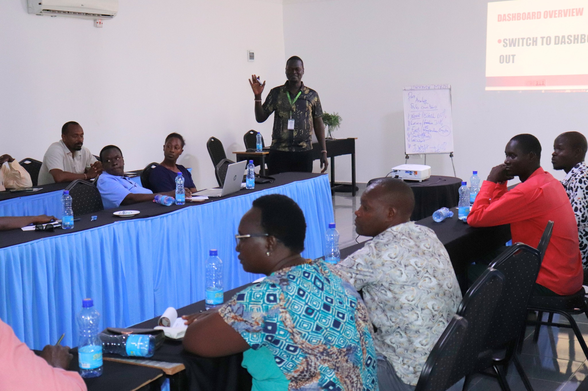
This will enable officials to track trends, identify gaps, and make informed decisions to enhance water provision across the county.
According to Paul Lotum, Director of Water Services, the dashboard is a game-changer for Turkana’s water management strategy.
“Well-managed water resources mean no one should suffer from thirst or hunger, and no livestock should perish,” Lotum said during the project’s launch.
He emphasized that the dashboard will incorporate historical water and sanitation data, creating a comprehensive tool for long-term planning.
The dashboard’s capabilities extend beyond monitoring existing infrastructure.
Felix Tomno, Turkana East Sub-county Water Officer, highlighted its role in mapping groundwater potential.
“By identifying areas with poor groundwater prospects, we can save resources and implement tailored interventions,” Tomno explained.
The tool will also help address water quality issues, such as high fluoride or saline content, enabling service providers to deliver clean and safe water.
Senior Drilling Superintendent Anderson Koskey noted that the dashboard will centralize borehole data, simplifying the identification and mapping of water points for current and future use.
“It will enhance geophysical investigations by pinpointing areas with potential aquifers, based on real-time data,” Koskey added.
The project’s development has been a collaborative effort, with LOKADO’s WASH Liaison, Dennis Ekiru, facilitating discussions to ensure the dashboard meets the county’s specific needs.
Ekiru stressed the importance of high-quality data and compliance with standards, particularly for boreholes.
“The dashboard’s parameters can be expanded to suit evolving requirements,” he said.
The Water Resources Authority (WRA) will also benefit from the dashboard’s capabilities.
Josephine Oyaro, WRA’s Licensing Officer in Turkana, explained that the tool will provide coordinates to identify licensed boreholes and monitor illegal water abstraction sites, ensuring sustainable groundwater management.
During recent discussions, stakeholders identified gaps and proposed recommendations to refine the dashboard, ensuring it meets the county’s unique challenges.
The WASH Map is expected to be commissioned at a later date, marking a significant step toward improving water security and sanitation in Turkana County.
With the WASH Map dashboard, Turkana County is poised to set a new standard for water resource management, fostering a future where clean, accessible water is a reality for all its residents.