
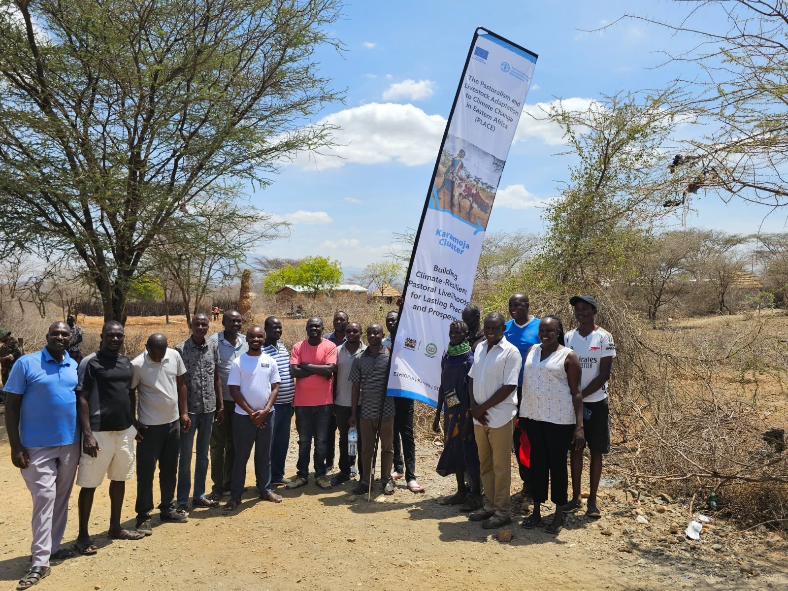
Communities in West Pokot and Turkana are mapping community land boundaries and key public assets to strengthen land governance, tenure security and sustainable resource management.
A collaborative mapping exercise in West Pokot and Turkana is documenting community land, market centres, water resources and forests, with local communities playing a central role.
FAO-supported mapping activities in West Pokot and Turkana are bringing communities, land committees and technical officers together to document land boundaries and important community resources.
Communities in West Pokot and Turkana counties are undertaking surveys and mapping of community land boundaries and key public utilities as efforts to strengthen land governance and secure land tenure gather pace.
The exercise is being implemented under the European Union-funded PLACE Programme, with the Food and Agriculture Organization of the United Nations (FAO), in collaboration with the Government of Kenya, supporting communities to document and better manage their land and natural resources.
The mapping exercise goes beyond establishing community land boundaries. It also involves identifying and mapping critical community assets, including market centres, water resources and community forests, which play an important role in supporting local livelihoods and sustainable natural resource management.
According to FAO Kenya, the process is being undertaken through a collaborative approach that brings together local communities, Community Land Management Committees (CLMCs), administrators and land technical officers.
The participatory approach is intended to ensure that local knowledge, community priorities and existing land-use practices are reflected in the mapping process.
The initiative comes as communities in the arid and semi-arid areas of West Pokot and Turkana continue to depend heavily on land and natural resources for livestock production, water access and other livelihood activities.
Beyond land mapping, the EU-funded PLACE Programme is also supporting investments aimed at improving access to essential resources in communities.
In West Pokot, two sand dams have been completed at Losam and Alale through the programme. The facilities are expected to improve access to water for both livestock and local communities, particularly in an area where water availability remains critical to livelihoods.
The Food and Agriculture Organization of the United Nations is implementing the initiative in partnership with the Government of Kenya, with funding from the European Union.
West Pokot Deputy Governor Robert Komolle commended the European Union for its continued support to development initiatives in the county, including interventions aimed at improving water access and strengthening community resilience.
The ongoing mapping of community land and key public assets is expected to provide communities and local authorities with better information for land-use planning, resource management and the protection of community assets.
For communities in West Pokot and Turkana, documenting land boundaries and important natural resources is also an important step towards strengthening community land governance and supporting more sustainable management of land and water resources.